

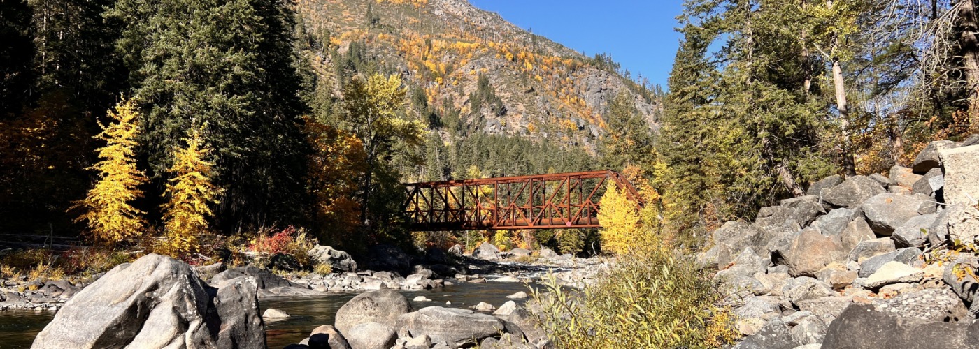

Old Pipeline Bridge
Free Travel Guide
Sign Up for
Our Newsletter
11/06/2026
See All Our Blogs

Penstock Trail (Old Pipeline Bridge Trail)
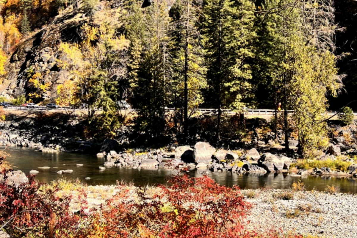
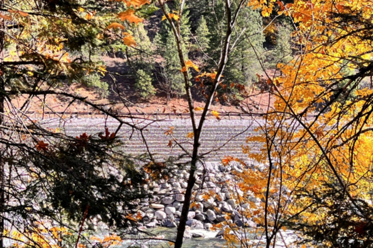
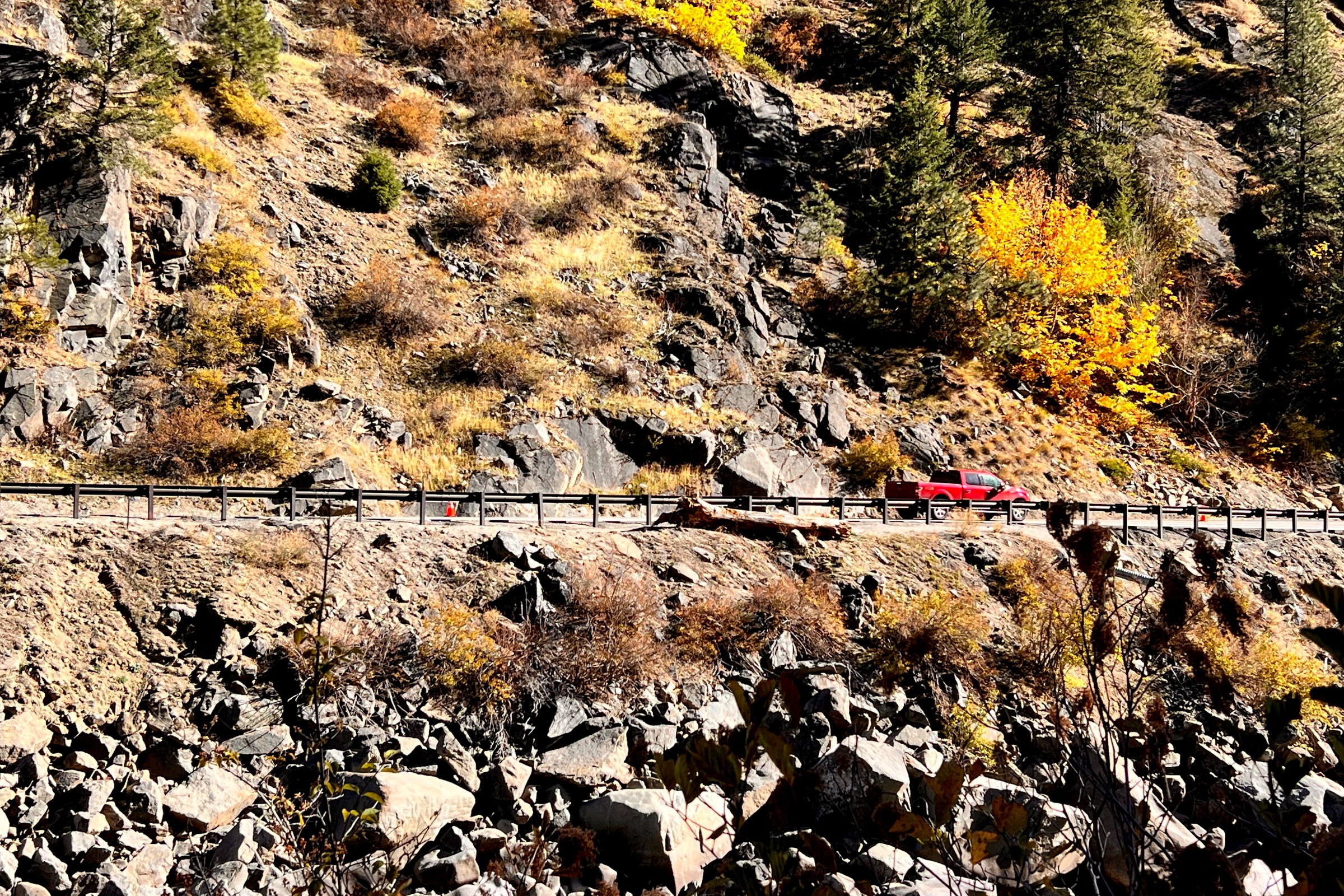
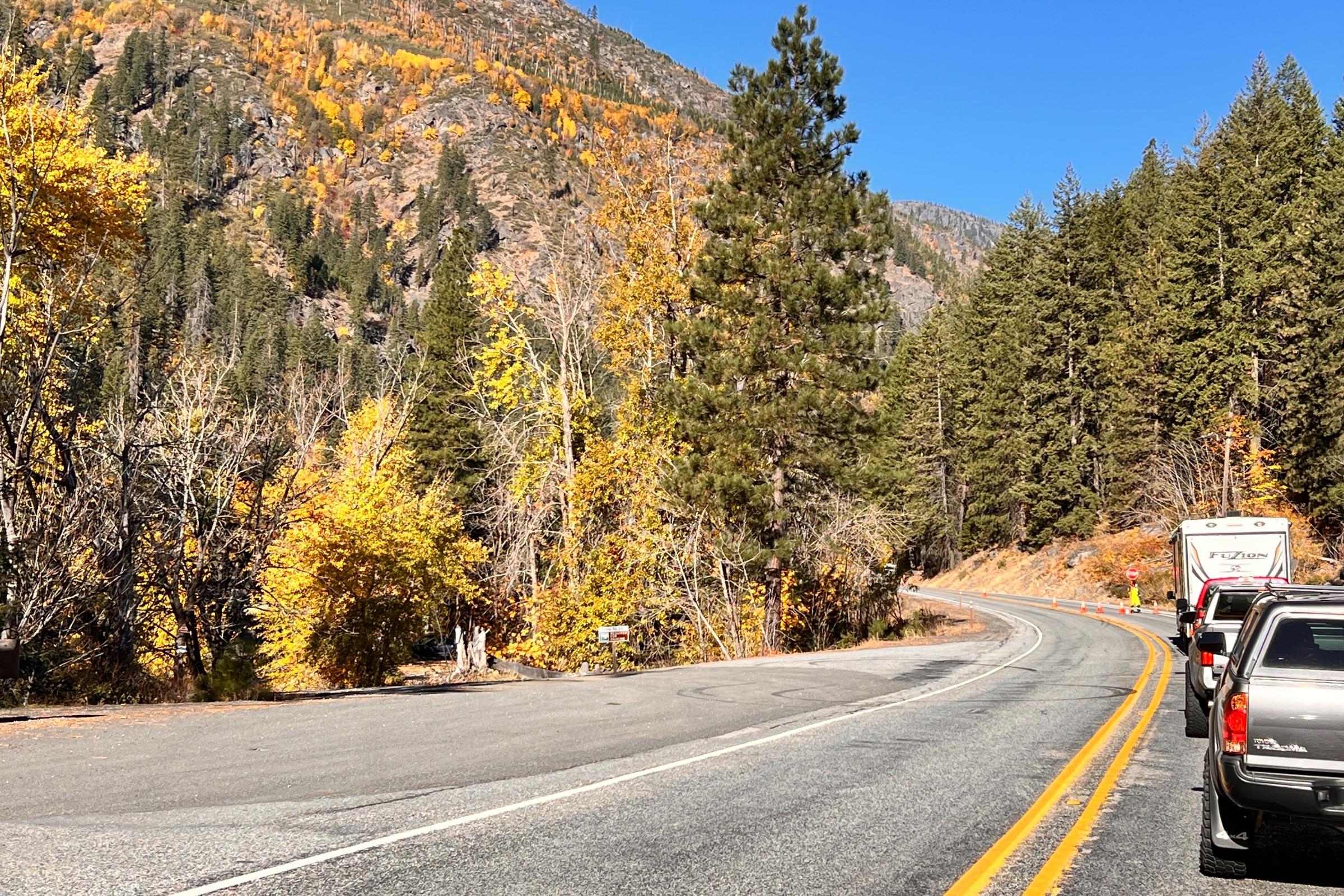
Tumwater Canyon Highway 2 from Penstock Trail

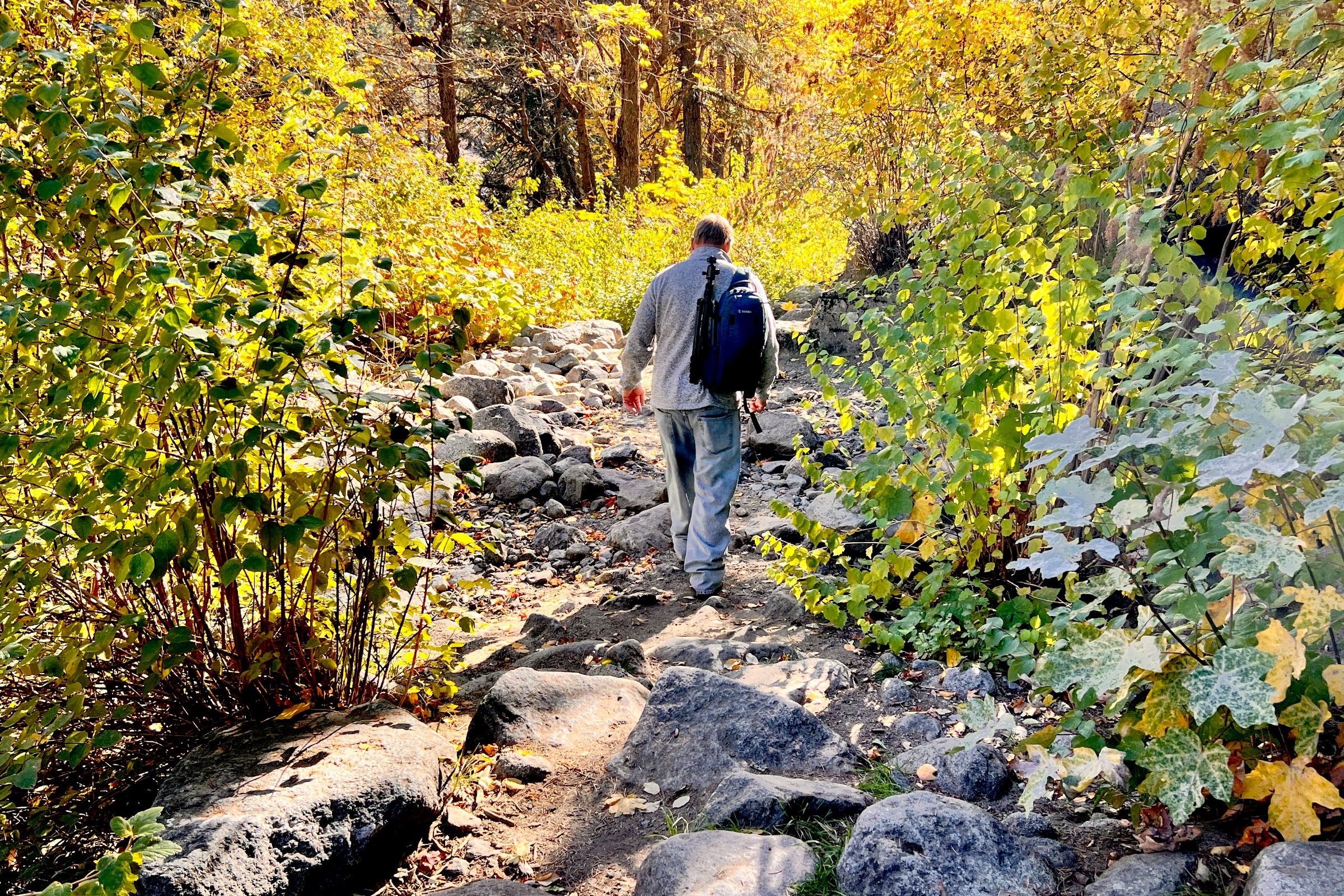
We took a drive last month up the Tumwater Canyon to see how the fall colors were looking -- and they were still amazing, although a bit past peak. The Washington State Department of Transportation was working on the road, completing repairs from damage from last year’s flooding, so while we waited at the flagger, we decided to turn into the trailhead for the Pipeline Bridge, just a few miles outside of Leavenworth. The colors were still vibrant in the sunshine, and we took some shots of the bridge from the sandy beach, and then went to see the views from the bridge itself. Before we knew it, we were hiking the trail, listening for birds, and enjoying the amazing colors. 

Repair of slope from December 2025 flood event

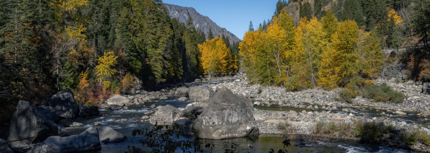
The trail follows the Wenatchee River on the opposite side of the highway, and in a few places we could where the repairs to the riverbank have been completed. This is the stretch where the water raged in December of 2025, causing the highway to close for almost 2 months while WSDOT crews worked around the clock to rebuild the slope, restore drainage, and install guardrails, and then pave the roadway. 


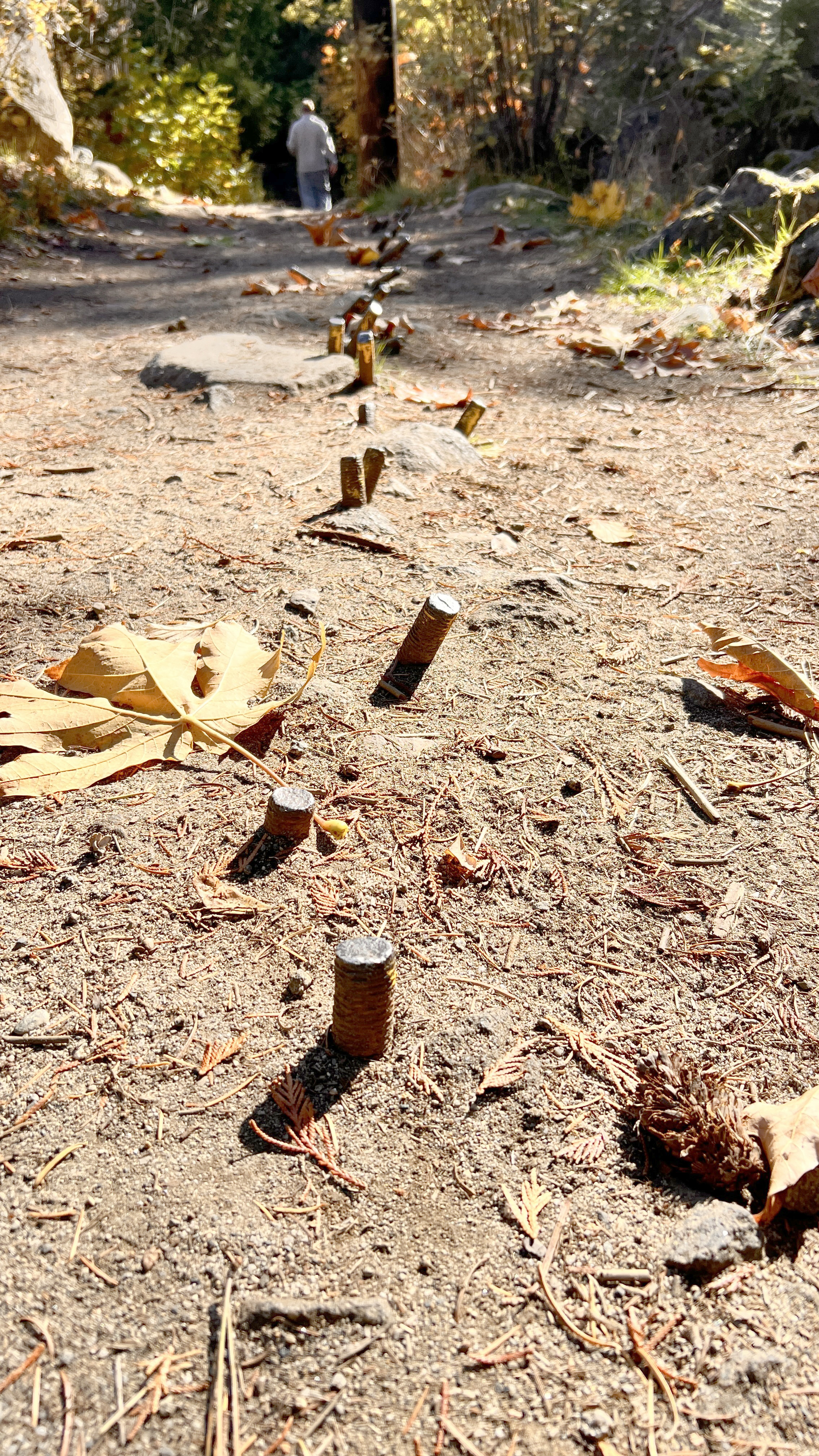
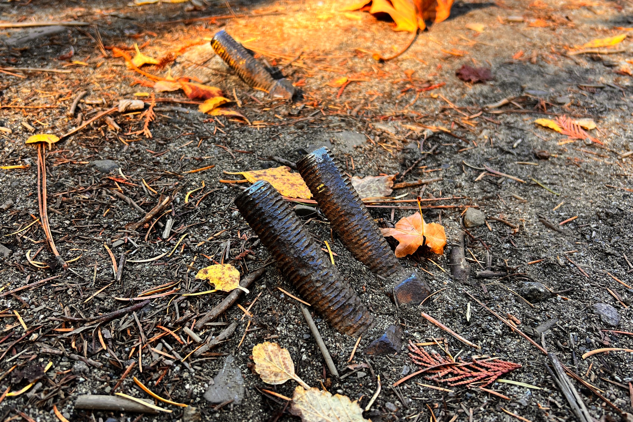
Because this trail is so close to the highway, you will almost always have road noise, so if you are looking for a peaceful visit in the deep forest, you’ll want to try a different trail. But this is a great leg-stretcher, with almost no elevation change. You will need to watch your feet in some areas, as the trail has rough patches If you are visiting in the spring you may have shallow water crossings, and there is one section where bolts stick out of the ground, a reminder of the history of this trail and the Tumwater Canyon. 

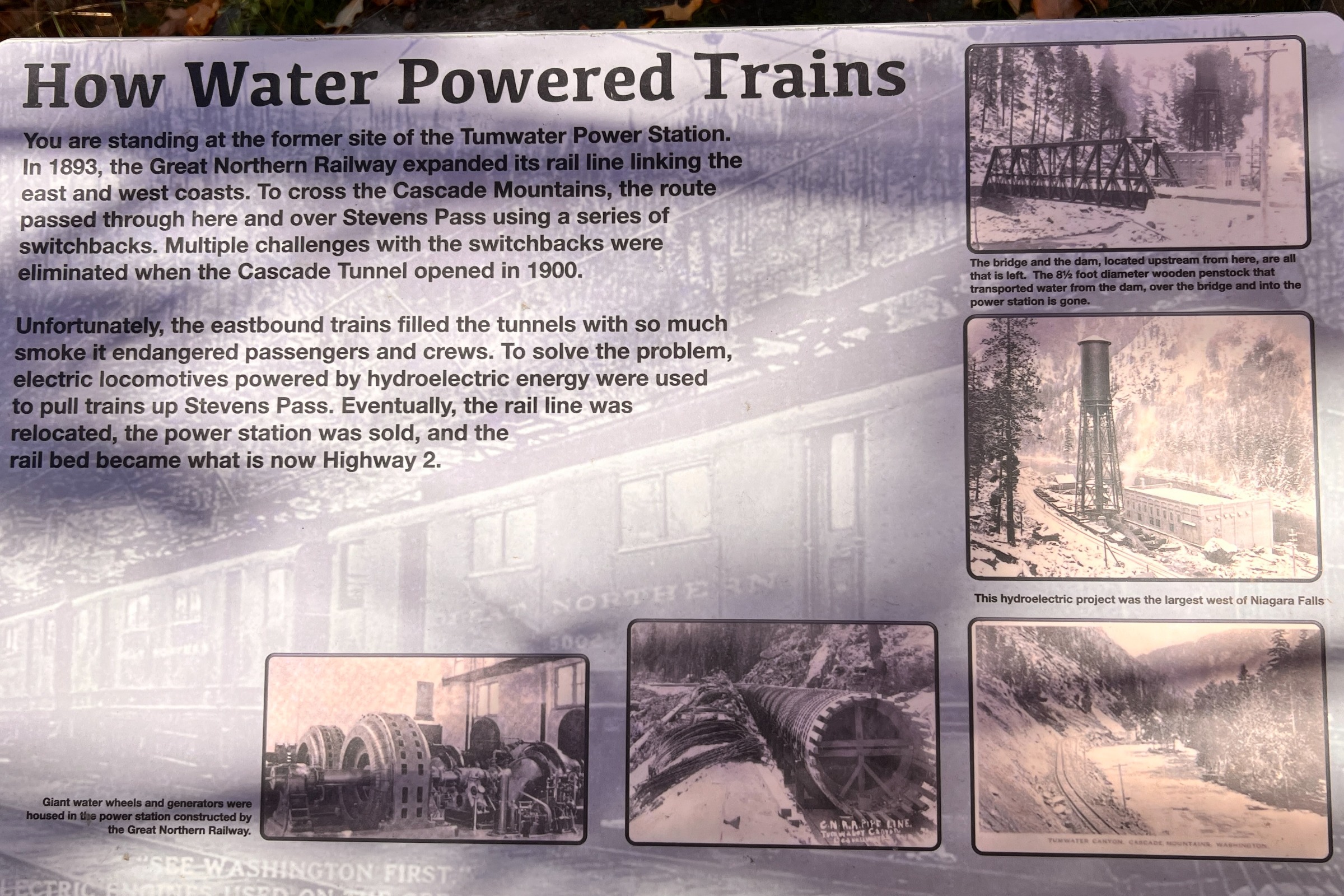
The trailhead was once the location of the Tumwater Power Station, part of the largest hydroelectric project west of Niagara Falls when it was operating from 1907 to 1909. It was built to produce power for electric locomotives traveling through the old Cascade Tunnel because the smoke from trains traveling through that 2.6-mile long tunnel was such a hazard. It's goal was to eliminate the complicated and time-consuming switchback system. The original tunnel was 2.6 miles long, and entirely lined with concrete. There were also seventeen “snow sheds” constructed over the rail line as it climbed toward the tunnel. The snow sheds were designed to deflect avalanches over the rails. You can still see remnants of many of these sheds when you drive over Stevens Pass in the summer. You can also hike the Iron Goat Trail and traverse part of the old railbed, including switchbacks. 

Read more about the Cascade Tunnel, the longest railroad tunnel in the US on our blog (click here).
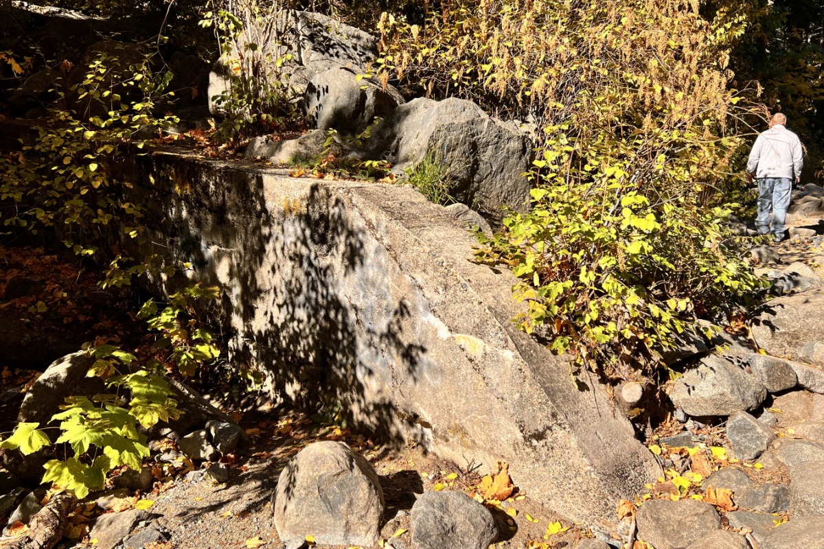
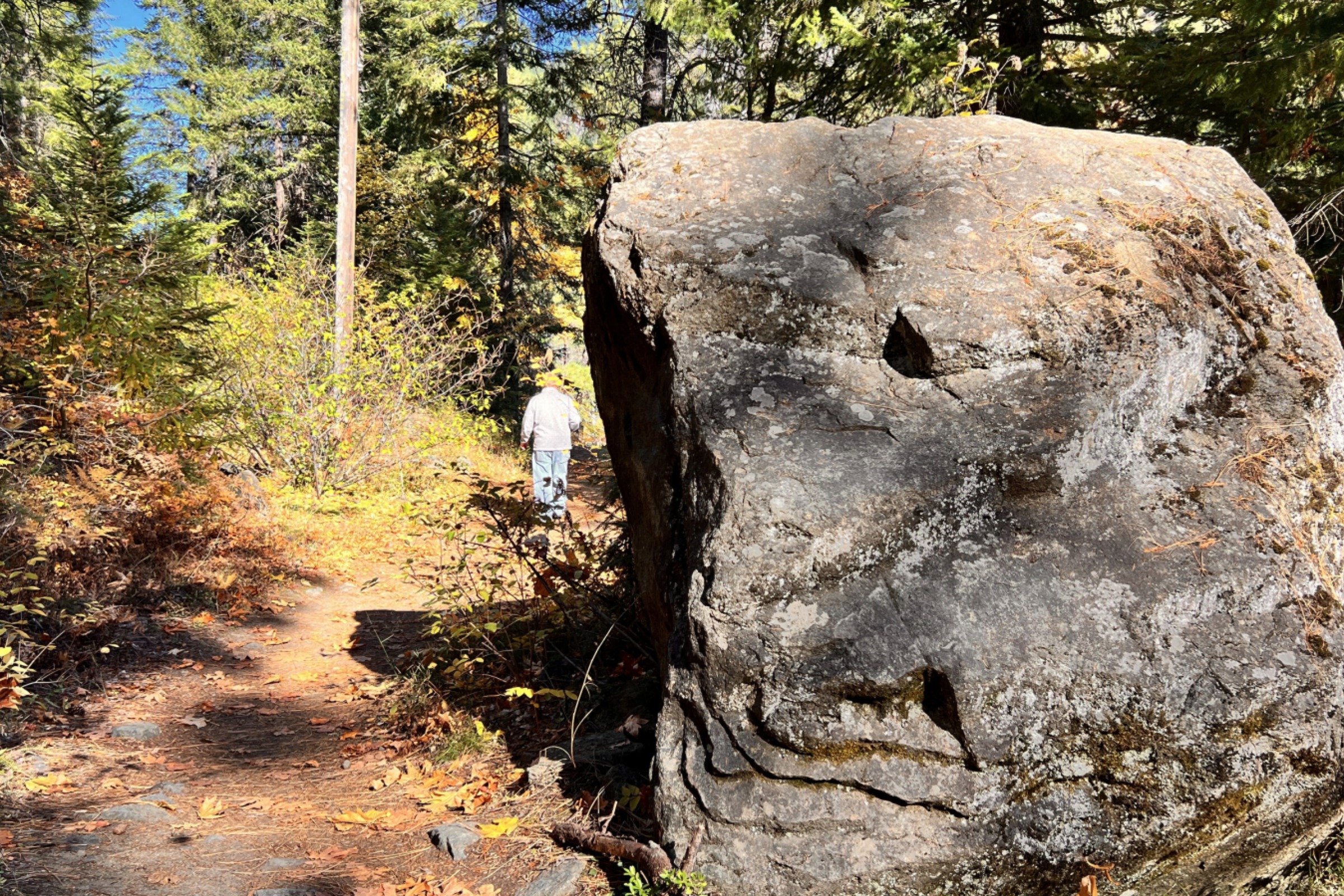
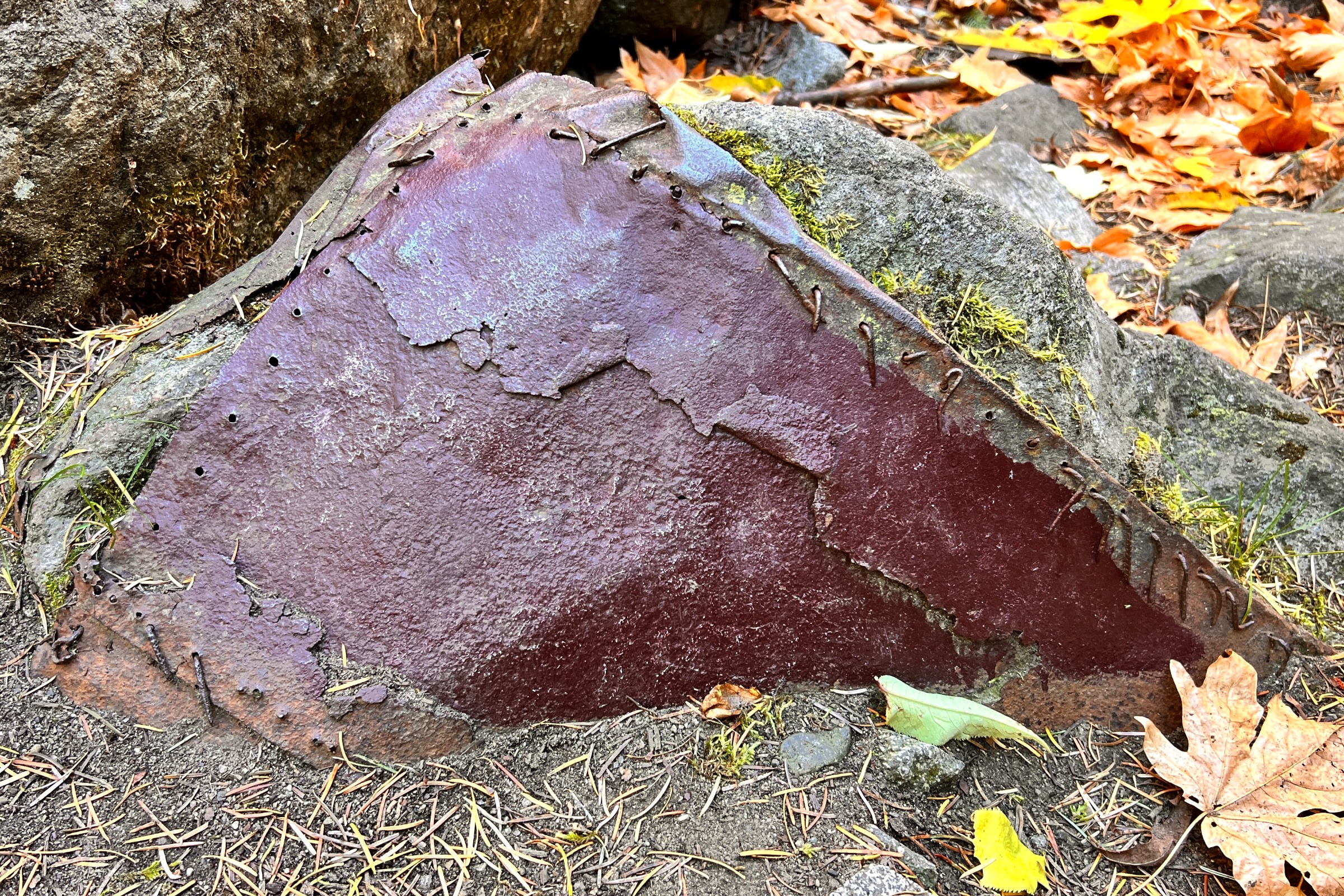
Wall remnant along the trail

This story of the work done in this area is a testament to the ingenuity of rail history, from the building of the Tumwater Dam to electrify the Cascade Tunnel, and even before that, to the railway switchbacks that were built into the mountainside to allow trains to climb the 4000 foot Stevens Pass to allow travel from east to west over the Cascades. 

From the bolts in the dirt, to concrete walls, and remnants of metal mounted on boulders, all to make travel safer for early 1900's visitors and residents of the region. A year after the hydro-electric power plant was completed, in late February of 1910 a deadly storm trapped two trains just east of the Cascade Tunnel entrance. After several days waiting for the snow to stop falling and for help to arrive with supplies, a bolt of lightning hit the mountain tops and the rumbling thunder caused an avalanche that knocked the trains off the rails and into the river gorge 150 feet below. Read more about the Wellington Train Disaster on our blog (Click here).

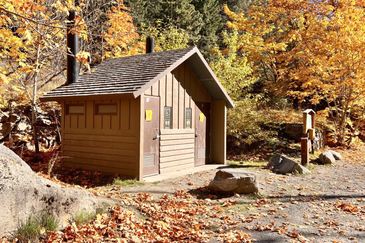
ADA Toilet - closed in winter

The trailhead, just a few miles west of Leavenworth along Highway 2, features an ADA toilet, but no water. A Northwest Forest Pass is required to park here, and there is a pay box onsite.

The full trail is not good for wheelchairs, but the parking area is scenic and a great spot for birding. Over the years when we have stopped here we have seen kingfisher, American Dipper, mergansers, and Bald Eagles. In the spring you might also see Osprey and in the fall you could see salmon spawning. Be on the lookout for river otters, we've not seen them here specifically, but just up the road we found them fishing in the fall. 

In spring this section is often a water crossing

If you are interested in learning more about this area, the Tumwater Canyon, Tumwater Dam, Railroad History and the Cascade Tunnel - here are some resources:

Tumwater Dam construction and other links from Great Northern Railroad

The Great Northern Railway Eight-Mile Tunnel is dedicated on January 12, 1929. from historylink.org

Wellington Train Disaster - March, 1910 Cascade Loop Blog

Cascade Tunnel - the Longest Railroad Tunnel in the US Cascade Loop Blog 

Recreation App Logo

Northwest Forest Pass required to park at the trailhead!

If you don't already have your Northwest Forest Pass, download the app while you have cell signal! The kiosks no longer take cash/check payments like they did in the past -- you can now get your parking pass at the trailhead, using the app, even if there is no cell service. Simply open the app and find the Scan button on the bottom of the screen. Scan the code on the kiosk to purchase a day pass, and write the confirmation code on provided card, and leave it on your dashboard. Easy Peezy!